Geolocate

Heuberg topographic map

Click on the map to display elevation.

Heuberg

Die älteste Ortsnamensform „Hegeberch“ zeigt, dass es sich bei der Siedlung um einen eingehegten Bereich auf einer Anhöhe handelte.

Wikipedia (CC-BY-SA 3.0)

About this map

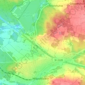
Name: Heuberg topographic map, elevation, terrain.

Location: Heuberg, Hilpoltstein, Landkreis Roth, Bayern, 91161, Deutschland (49.18633 11.17331 49.22633 11.21331)

Average elevation: 392 m

Minimum elevation: 354 m

Maximum elevation: 437 m

Other topographic maps

Click on a map to view its topography, its elevation and its terrain.

91161

Deutschland > Bayern > Landkreis Roth > Hilpoltstein > Grauwinkl

Average elevation: 438 m

Gear up for your next adventure:

Lightweight Camping Tent - Portable shelter optimized for Canadian backcountry camping
🦶Hiking Shoe Insoles - Added support for high arches and long days on feet
🧢Hiking Hat - Sun-protective and breathable hats for long treks
🎒Hiking Daypack - Lightweight and durable backpacks for day trips and excursions
🎒Fully Waterproof Backpack - Total protection for photography gear and electronics

As an Amazon Associate, this site earns from qualifying purchases at no extra cost to you.