
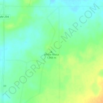
White Mesa topographic map
Interactive map
Click on the map to display elevation.
About this map
Name: White Mesa topographic map, elevation, terrain.
Location: White Mesa, De Baca County, New Mexico, United States (34.29113 -103.98613 34.29123 -103.98603)
Average elevation: 1,348 m
Minimum elevation: 1,336 m
Maximum elevation: 1,365 m
Other topographic maps
Click on a map to view its topography, its elevation and its terrain.
Sumner Lake State Park
United States > New Mexico > De Baca County
Sumner Lake State Park, De Baca County, New Mexico, 88119, United States
Average elevation: 1,311 m