
Thank you for supporting this site ❤️
Make a donation
Make a donation
Gear up for your next adventure:
As an Amazon Associate, this site earns from qualifying purchases at no extra cost to you.
Cosapa topographic map
Click on the map to display elevation.
Thank you for supporting this site ❤️
Make a donation
Make a donation
Gear up for your next adventure:
As an Amazon Associate, this site earns from qualifying purchases at no extra cost to you.
About this map
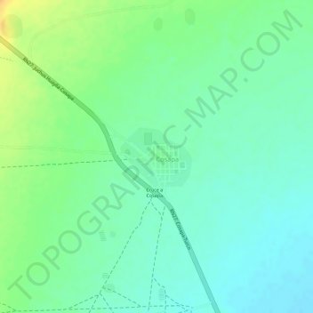
Name: Cosapa topographic map, elevation, terrain.
Location: Cosapa, Municipio Turco, Provincia Sajama, Oruro, Bolivia (-18.18000 -68.71281 -18.17489 -68.70625)
Average elevation: 3,906 m
Minimum elevation: 3,892 m
Maximum elevation: 3,927 m
Thank you for supporting this site ❤️
Make a donation
Make a donation
Gear up for your next adventure:
As an Amazon Associate, this site earns from qualifying purchases at no extra cost to you.
Other topographic maps
Click on a map to view its topography, its elevation and its terrain.