
Stoney Creek topographic map
Interactive map
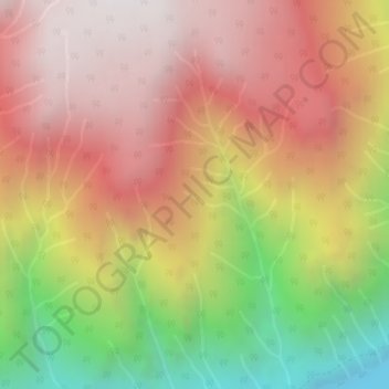
Click on the map to display elevation.
About this map
Name: Stoney Creek topographic map, elevation, terrain.
Average elevation: 1,295 m
Minimum elevation: 423 m
Maximum elevation: 1,909 m
Other topographic maps
Click on a map to view its topography, its elevation and its terrain.
Burton (Trout) Creek
Canada > British Columbia > Regional District of Central Kootenay > Area K (The Arrow Lakes)
Average elevation: 1,659 m