Geolocate

Frederickson topographic map

Click on the map to display elevation.

About this map

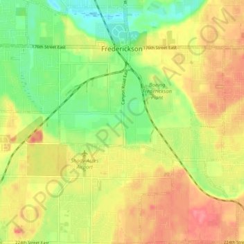
Name: Frederickson topographic map, elevation, terrain.

Location: Frederickson, Pierce County, Washington, United States (47.06734 -122.40059 47.12758 -122.31479)

Average elevation: 130 m

Minimum elevation: 94 m

Maximum elevation: 169 m

Gear up for your next adventure:

🌡️Emergency Mylar Blankets - Compact thermal protection for unexpected nights outdoors
🚲Heavy Duty Bike Lock - Secure your bike at the trailhead or during stops
🦶Anti-Blister Balm - Prevents friction and hotspots during long ascents
🔭Outdoor Binoculars - Lightweight binoculars for birdwatching and hiking
🧥Insulated Jacket - Keep warm in cold outdoor conditions

As an Amazon Associate, this site earns from qualifying purchases at no extra cost to you.