
Thank you for supporting this site ❤️
Make a donation
Make a donation
Gear up for your next adventure:
As an Amazon Associate, this site earns from qualifying purchases at no extra cost to you.
Pietrapiana topographic map
Click on the map to display elevation.
Thank you for supporting this site ❤️
Make a donation
Make a donation
Gear up for your next adventure:
As an Amazon Associate, this site earns from qualifying purchases at no extra cost to you.
About this map
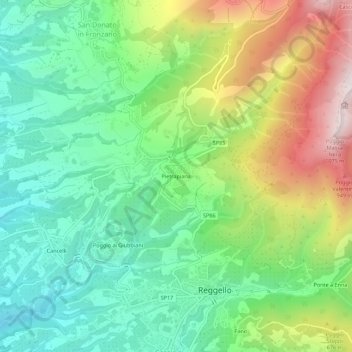
Name: Pietrapiana topographic map, elevation, terrain.
Location: Pietrapiana, Reggello, Firenze, Toscane, Italië (43.67601 11.51079 43.71601 11.55079)
Average elevation: 517 m
Minimum elevation: 210 m
Maximum elevation: 1,082 m
Thank you for supporting this site ❤️
Make a donation
Make a donation
Gear up for your next adventure:
As an Amazon Associate, this site earns from qualifying purchases at no extra cost to you.