Geolocate

Antioquia topographic map

Click on the map to display elevation.

About this map

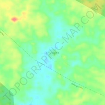
Name: Antioquia topographic map, elevation, terrain.

Location: Antioquia, Jeberos, Province of Alto Amazonas, Loreto, Peru (-5.50165 -76.54367 -5.46165 -76.50367)

Average elevation: 205 m

Minimum elevation: 182 m

Maximum elevation: 243 m

Other topographic maps

Click on a map to view its topography, its elevation and its terrain.

Iquitos

Peru > Loreto

Average elevation: 94 m

Lagunas

Peru > Loreto

Average elevation: 133 m

Andoas

Peru > Loreto

Average elevation: 198 m

Rick

Peru > Loreto > Mazán

Average elevation: 85 m

Pastaza

Peru > Loreto

Average elevation: 204 m

Yurimaguas

Peru > Loreto > Yurimaguas

Average elevation: 177 m

Gear up for your next adventure:

🦶Anti-Blister Balm - Prevents friction and hotspots during long ascents
🔦LED Headtorch - Bright and durable light for night activities
💡Solar Camping Lamp - Eco-friendly lighting for campsites
🥾Trail Running Shoes - Lightweight and durable shoes for trail running
🥾Waterproof Trail Shoes - Shoes designed to handle wet terrain

As an Amazon Associate, this site earns from qualifying purchases at no extra cost to you.