Geolocate

Kalpowar topographic map

Click on the map to display elevation.

About this map

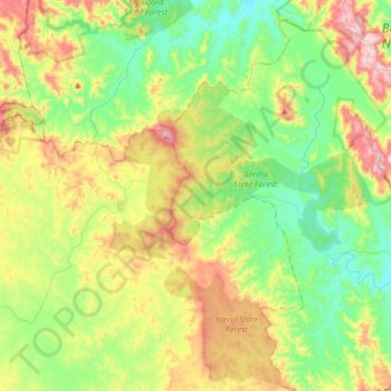
Name: Kalpowar topographic map, elevation, terrain.

Location: Kalpowar, Bundaberg Region, Queensland, Australia (-24.78032 151.19860 -24.60834 151.52062)

Average elevation: 332 m

Minimum elevation: 120 m

Maximum elevation: 740 m

Other topographic maps

Click on a map to view its topography, its elevation and its terrain.

Gear up for your next adventure:

💡LED Headlamp - Hands-free illumination for night hiking and camping
🧴Insect Repellent - Protect yourself from bugs during outdoor adventures
🔋Lithium AA Batteries - Long-lasting power that performs in extreme cold
🛌Down Sleeping Bag - Superior warmth-to-weight ratio for cold nights
🥾Trekking Poles - Adjustable trekking poles to reduce knee stress and improve stability

As an Amazon Associate, this site earns from qualifying purchases at no extra cost to you.