Geolocate

Wusong topographic map

Click on the map to display elevation.

About this map

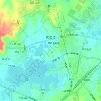
Name: Wusong topographic map, elevation, terrain.

Location: Wusong, Yi'an District, Tongling, Anhui, China (30.94214 117.77059 30.96986 117.81107)

Average elevation: 24 m

Minimum elevation: 4 m

Maximum elevation: 78 m

Gear up for your next adventure:

🧥Packable Rain Jacket - Breathable waterproof layer for unpredictable weather
🧤Thermal Hiking Gloves - Grip-enhanced gloves for cold-weather altitude trekking
🔭Compact Monocular - One-handed bird watching and trail spotting
🥾Trail Running Shoes - Lightweight and durable shoes for trail running
🛏️Camping Sleeping Mat - Comfortable mats for sleeping outdoors

As an Amazon Associate, this site earns from qualifying purchases at no extra cost to you.