Geolocate

Skerries topographic map

Click on the map to display elevation.

About this map

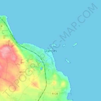
Name: Skerries topographic map, elevation, terrain.

Location: Skerries, Fingal, County Dublin, Leinster, K34 V585, Ireland (53.54064 -6.14669 53.62064 -6.06669)

Average elevation: 16 m

Minimum elevation: -10 m

Maximum elevation: 95 m

Other topographic maps

Click on a map to view its topography, its elevation and its terrain.

Gear up for your next adventure:

🥾Lightweight Hiking Shoes - Comfortable shoes for day hikes
🥤Collapsible Travel Cup - Saves space and weight in your mess kit
🧤Thermal Hiking Gloves - Grip-enhanced gloves for cold-weather altitude trekking
👟Sport Hiking Sandals - Breathable footwear for water crossings and camp rest
🥾Approach Shoes - Shoes designed for climbing approaches and rugged trails

As an Amazon Associate, this site earns from qualifying purchases at no extra cost to you.