Geolocate

Triebendorf topographic map

Click on the map to display elevation.

About this map

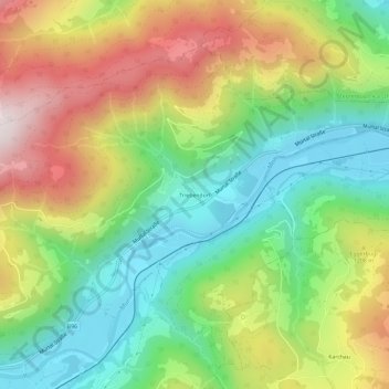
Name: Triebendorf topographic map, elevation, terrain.

Location: Triebendorf, Murau, Bezirk Murau, Styria, 8850, Austria (47.10953 14.21701 47.14953 14.25701)

Average elevation: 1,085 m

Minimum elevation: 759 m

Maximum elevation: 1,556 m

Gear up for your next adventure:

🧭GPS Handheld Device - Reliable GPS navigation for outdoor adventures
🔋Solar Power Bank - Keep your GPS and devices charged during long outdoor trips
🧦Hiking Liner Socks - Thin base layer to prevent friction and blisters
💡Compact LED Flashlight - Powerful and portable flashlight for outdoor use
🧣Merino Neck Gaiter - Protects against wind, sun, and cold at high altitudes

As an Amazon Associate, this site earns from qualifying purchases at no extra cost to you.