Geolocate

El Maco topographic map

Click on the map to display elevation.

About this map

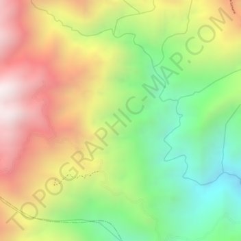
Name: El Maco topographic map, elevation, terrain.

Location: El Maco, Ortega, Sur, Tolima, RAP (Especial) Central, Colombia (3.85789 -75.40857 3.87789 -75.38857)

Average elevation: 1,311 m

Minimum elevation: 832 m

Maximum elevation: 1,796 m

Gear up for your next adventure:

🥾Hiking Shoes - Durable and comfortable shoes for trail hiking
🧭GPS Tracker - Track your location in remote areas safely
🛶Kayak Accessories - Essential gear for safe and fun kayaking adventures
🗺️Topographic Maps - Detailed maps to explore trails, mountains, and wilderness areas
🥾Lightweight Hiking Shoes - Comfortable shoes for day hikes

As an Amazon Associate, this site earns from qualifying purchases at no extra cost to you.