Geolocate

Saidpur topographic map

Click on the map to display elevation.

About this map

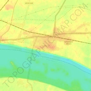
Name: Saidpur topographic map, elevation, terrain.

Location: Saidpur, Ghazipur, Uttar Pradesh, 233304, India (25.51680 83.20175 25.55680 83.24175)

Average elevation: 69 m

Minimum elevation: 49 m

Maximum elevation: 82 m

Gear up for your next adventure:

🧼Travel Hand Sanitizer - Keep hands clean when water is scarce
🥾Approach Shoes - Shoes designed for climbing approaches and rugged trails
🧢Outdoor Cap - Protective cap for sun and rain during hikes
🧥Softshell Hiking Jacket - The perfect balance of wind protection and breathability
🪜Heavy Duty Carabiners - Multi-use clips for securing gear to your backpack

As an Amazon Associate, this site earns from qualifying purchases at no extra cost to you.