
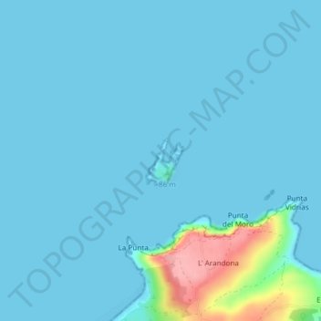
Isla de La Deva topographic map
Interactive map
Click on the map to display elevation.
About this map
Name: Isla de La Deva topographic map, elevation, terrain.
Location: Isla de La Deva, Castrillón, Asturias, España (43.58889 -6.03423 43.59260 -6.03039)
Average elevation: 11 m
Minimum elevation: -2 m
Maximum elevation: 115 m