
Rambrouch topographic map
Interactive map
Click on the map to display elevation.
About this map
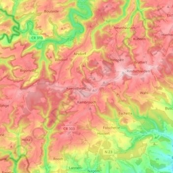
Name: Rambrouch topographic map, elevation, terrain.
Location: Rambrouch, Canton Redange, Luxembourg (49.79058 5.73925 49.88869 5.90751)
Average elevation: 436 m
Minimum elevation: 270 m
Maximum elevation: 553 m