Geolocate

Chupan topographic map

Click on the map to display elevation.

About this map

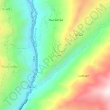
Name: Chupan topographic map, elevation, terrain.

Location: Chupan, Aparicio Pomares, Yarowilca, Huánuco, Perú (-9.76783 -76.66824 -9.72783 -76.62824)

Average elevation: 3,433 m

Minimum elevation: 3,015 m

Maximum elevation: 4,091 m

Gear up for your next adventure:

💧Reusable Water Bottle - Durable water bottles for hydration on trails
🔥Emergency Fire Starter - Reliable ignition source for all weather conditions
🥾Hiking Gaiters - Protect legs and shoes from mud, snow, and debris
Lightweight Camping Tent - Portable shelter optimized for Canadian backcountry camping
🧢Outdoor Cap - Protective cap for sun and rain during hikes

As an Amazon Associate, this site earns from qualifying purchases at no extra cost to you.