Geolocate

Santo Niño topographic map

Click on the map to display elevation.

About this map

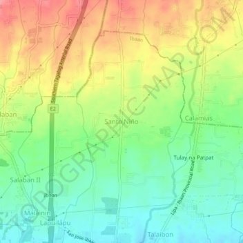
Name: Santo Niño topographic map, elevation, terrain.

Location: Santo Niño, Ibaan, Batangas, Calabarzon, 4230, Philippines (13.83631 121.11305 13.87631 121.15305)

Average elevation: 180 m

Minimum elevation: 142 m

Maximum elevation: 229 m

Gear up for your next adventure:

📷Outdoor Action Camera - Capture high-elevation views and rugged adventures
👖Convertible Hiking Pants - Zip-off legs to adapt to changing weather conditions
🥾Light Trekking Boots - Supportive boots for multi-day treks
🧴Insect Repellent - Protect yourself from bugs during outdoor adventures
🛏️Camping Sleeping Mat - Comfortable mats for sleeping outdoors

As an Amazon Associate, this site earns from qualifying purchases at no extra cost to you.