Geolocate

Meru National Park topographic map

Click on the map to display elevation.

About this map

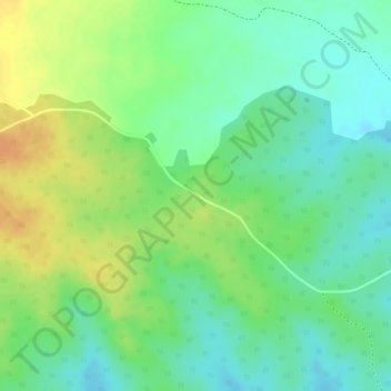
Name: Meru National Park topographic map, elevation, terrain.

Location: Meru National Park, Igembe Central, Meru County, Eastern, Kenya (0.11728 38.16384 0.11738 38.16394)

Average elevation: 605 m

Minimum elevation: 588 m

Maximum elevation: 625 m

Gear up for your next adventure:

🧥Thermal Layer - Insulating layer for cold outdoor conditions
🔦LED Headtorch - Bright and durable light for night activities
Camping Coffee Maker - Brew fresh coffee anywhere on the topographic map
🎒Hiking Backpack - Lightweight and ergonomic backpacks for day hikes or multi-day treks
🥾Hiking Gaiters - Protect legs and shoes from mud, snow, and debris

As an Amazon Associate, this site earns from qualifying purchases at no extra cost to you.