
Thank you for supporting this site ❤️
Make a donation
Make a donation
Gear up for your next adventure:
As an Amazon Associate, this site earns from qualifying purchases at no extra cost to you.
Farm topographic map
Click on the map to display elevation.
Thank you for supporting this site ❤️
Make a donation
Make a donation
Gear up for your next adventure:
As an Amazon Associate, this site earns from qualifying purchases at no extra cost to you.
About this map
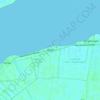
Name: Farm topographic map, elevation, terrain.
Location: Farm, Good Hope - Hydronie, Essequibo Islands, Guyana (6.82989 -58.42863 6.90989 -58.34863)
Average elevation: 1 m
Minimum elevation: -1 m
Maximum elevation: 8 m
Thank you for supporting this site ❤️
Make a donation
Make a donation
Gear up for your next adventure:
As an Amazon Associate, this site earns from qualifying purchases at no extra cost to you.