Geolocate

Mariotto topographic map

Click on the map to display elevation.

About this map
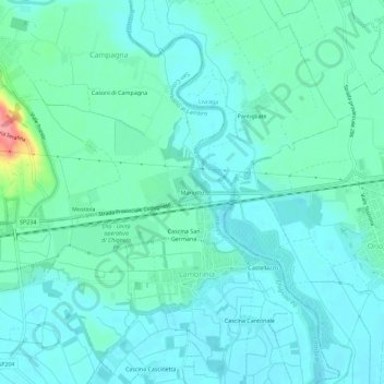
Name: Mariotto topographic map, elevation, terrain.

Location: Mariotto, San Colombano al Lambro, Milan, Lombardy, 26863, Italy (45.14586 9.50592 45.18586 9.54592)

Average elevation: 62 m

Minimum elevation: 46 m

Maximum elevation: 135 m

Gear up for your next adventure:

🚲Handlebar Phone Mount - View topographic-map.com live while cycling
🧭GPS Tracker - Track your location in remote areas safely
💧Filtered Water Bottle - Safe drinking water on the go
🪜Heavy Duty Carabiners - Multi-use clips for securing gear to your backpack
🥾Light Trekking Boots - Supportive boots for multi-day treks

As an Amazon Associate, this site earns from qualifying purchases at no extra cost to you.