
Candanchú topographic map
Interactive map
Click on the map to display elevation.
About this map
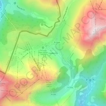
Name: Candanchú topographic map, elevation, terrain.
Location: Candanchú, Aísa, La Jacetania, Уэска, Арагон, 22889, Испания (42.76536 -0.54665 42.80536 -0.50665)
Average elevation: 1,686 m
Minimum elevation: 1,243 m
Maximum elevation: 2,278 m