Geolocate

Atmautluak topographic map

Click on the map to display elevation.

About this map

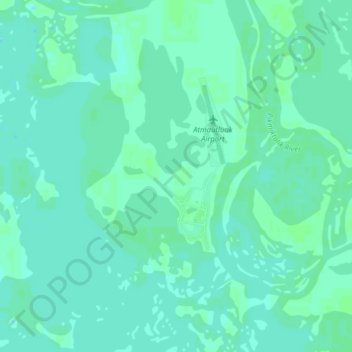
Name: Atmautluak topographic map, elevation, terrain.

Location: Atmautluak, Unorganized Borough, Alaska, United States (60.84268 -162.31402 60.88113 -162.24948)

Average elevation: 3 m

Minimum elevation: 0 m

Maximum elevation: 6 m

Gear up for your next adventure:

🔦LED Headlamp - Hands-free lighting for early morning starts or late finishes
🧢Outdoor Cap - Protective cap for sun and rain during hikes
🥾Hiking Gaiters - Protect legs and shoes from mud, snow, and debris
🧳Compression Sacks - Maximize space in your backpack by shrinking gear
🧴Waterproofing Spray - Restore the DWR coating on jackets and tents

As an Amazon Associate, this site earns from qualifying purchases at no extra cost to you.