Geolocate

Caesar topographic map

Click on the map to display elevation.

About this map

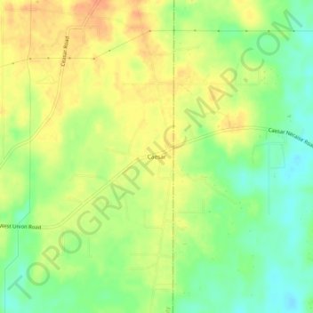
Name: Caesar topographic map, elevation, terrain.

Location: Caesar, Pearl River County, Mississippi, United States (30.56436 -89.56673 30.60436 -89.52673)

Average elevation: 47 m

Minimum elevation: 26 m

Maximum elevation: 64 m

Gear up for your next adventure:

💧Hydration Bladder - Hands-free hydration solution for long treks
🛶Canoe Life Vest - Safety vest for water sports
🧢Sun Protection Cap - Breathable cap to protect from sun exposure
🥾Light Hiking Boots - Lightweight and comfortable boots for day hikes
Backpacking Tent - Lightweight tent for long-distance hiking trips

As an Amazon Associate, this site earns from qualifying purchases at no extra cost to you.