Geolocate

Jamroli topographic map

Click on the map to display elevation.

About this map

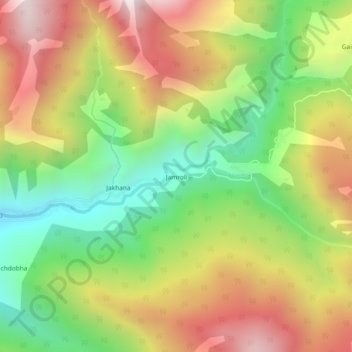
Name: Jamroli topographic map, elevation, terrain.

Location: Jamroli, Ghansali, Tehri Garhwal District, Uttarakhand, India (30.58064 78.69777 30.62064 78.73777)

Average elevation: 2,140 m

Minimum elevation: 1,599 m

Maximum elevation: 2,753 m

Gear up for your next adventure:

📷Outdoor Action Camera - Capture high-elevation views and rugged adventures
🪜Heavy Duty Carabiners - Multi-use clips for securing gear to your backpack
🧤Rechargeable Heated Gloves - Extreme warmth for Canadian winter expeditions
🥽Outdoor Goggles - Protective eyewear for outdoor activities
🦟Insect Repellent - Keep mosquitoes and black flies away in wooded areas

As an Amazon Associate, this site earns from qualifying purchases at no extra cost to you.