Geolocate

Sadashivnagar topographic map

Click on the map to display elevation.

About this map
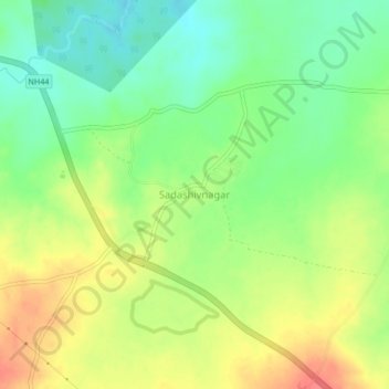
Name: Sadashivnagar topographic map, elevation, terrain.

Location: Sadashivnagar, Sadashivnagar mandal, Kamareddy, Telangana, 503145, India (18.39043 78.25432 18.43043 78.29432)

Average elevation: 543 m

Minimum elevation: 515 m

Maximum elevation: 575 m

Other topographic maps

Click on a map to view its topography, its elevation and its terrain.

Gear up for your next adventure:

👟Sport Hiking Sandals - Breathable footwear for water crossings and camp rest
🥾Light Trekking Boots - Supportive boots for multi-day treks
🧭Orienteering Kit - Tools for map reading and navigation in the wild
🧭GPS Tracker - Track your location in remote areas safely
🧥Waterproof Jacket - Lightweight rain jackets for hiking and outdoor activities

As an Amazon Associate, this site earns from qualifying purchases at no extra cost to you.