Geolocate

Vezzolano topographic map

Click on the map to display elevation.

About this map

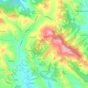
Name: Vezzolano topographic map, elevation, terrain.

Location: Vezzolano, Albugnano, Asti, Piemonte, 14024, Italia (45.06028 7.93685 45.10028 7.97685)

Average elevation: 376 m

Minimum elevation: 260 m

Maximum elevation: 543 m

Gear up for your next adventure:

🧭Orienteering Kit - Tools for map reading and navigation in the wild
🛌Down Sleeping Bag - Superior warmth-to-weight ratio for cold nights
Camping Essentials - All-in-one gear for a comfortable camping trip
🔋Emergency Crank Radio - Weather alerts and power without needing batteries
📷Outdoor Action Camera - Capture high-elevation views and rugged adventures

As an Amazon Associate, this site earns from qualifying purchases at no extra cost to you.