Geolocate

Kavalam topographic map

Click on the map to display elevation.

About this map

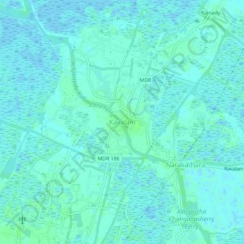
Name: Kavalam topographic map, elevation, terrain.

Location: Kavalam, Kuttanad, Alappuzha, Kerala, 688506, India (9.45618 76.43558 9.49618 76.47558)

Average elevation: 3 m

Minimum elevation: -5 m

Maximum elevation: 7 m

Other topographic maps

Click on a map to view its topography, its elevation and its terrain.

Pulinkunnu

India > Kerala > Kuttanad > Pullincunoo

Average elevation: 2 m

Pulinkunnu

India > Kerala > Kuttanad > Pullincunoo

Average elevation: 2 m

Veliyanadu Kidangara Ferry

India > Kerala > Kuttanad

Average elevation: 2 m

Gear up for your next adventure:

🧴Insect Repellent - Protect yourself from bugs during outdoor adventures
🧴Sunscreen SPF - Broad-spectrum sunscreen for outdoor activities
Tent Footprint - Protect tent floor and increase durability
🧦Merino Wool Socks - Moisture-wicking comfort for long-distance hiking
🪜Heavy Duty Carabiners - Multi-use clips for securing gear to your backpack

As an Amazon Associate, this site earns from qualifying purchases at no extra cost to you.