
Newton topographic map
Click on the map to display elevation.
About this map
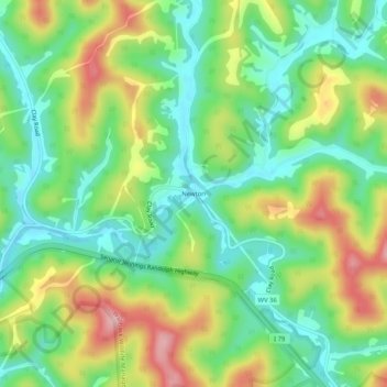
Name: Newton topographic map, elevation, terrain.
Location: Newton, Roane County, West Virginia, 25266, United States (38.57149 -81.19873 38.61149 -81.15873)
Average elevation: 287 m
Minimum elevation: 210 m
Maximum elevation: 412 m
Other topographic maps
Click on a map to view its topography, its elevation and its terrain.