
Sodupe topographic map
Click on the map to display elevation.
About this map
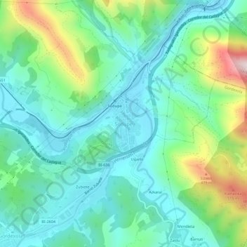
Name: Sodupe topographic map, elevation, terrain.
Location: Sodupe, Las Encartaciones, Vizcaya, País Vasco, 48830, España (43.17800 -3.06880 43.21800 -3.02880)
Average elevation: 192 m
Minimum elevation: 43 m
Maximum elevation: 625 m