Geolocate

Beaumont topographic map

Click on the map to display elevation.

About this map

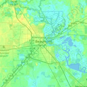
Name: Beaumont topographic map, elevation, terrain.

Location: Beaumont, Jefferson County, Texas, United States (29.97294 -94.22496 30.18902 -94.03693)

Average elevation: 6 m

Minimum elevation: -7 m

Maximum elevation: 17 m

Other topographic maps

Click on a map to view its topography, its elevation and its terrain.

Zummo

United States > Texas > Jefferson County > Beaumont

Average elevation: 6 m

Hamshire

United States > Texas > Jefferson County

Average elevation: 6 m

Beaumont

United States > Texas > Jefferson County > Beaumont

Average elevation: 6 m

Gear up for your next adventure:

🔦UV Flashlight - Detect minerals or specific insects in the dark
🧳Compression Sacks - Maximize space in your backpack by shrinking gear
🧦Hiking Socks - Moisture-wicking and comfortable socks for long hikes
🧥Waterproof Hiking Jacket - Protect yourself from rain and wind while hiking
🔭Compact Binoculars - Lightweight optics for scouting trails and wildlife

As an Amazon Associate, this site earns from qualifying purchases at no extra cost to you.