
Thank you for supporting this site ❤️
Make a donation
Make a donation
Gear up for your next adventure:
As an Amazon Associate, this site earns from qualifying purchases at no extra cost to you.
Mezzavalle topographic map
Click on the map to display elevation.
Thank you for supporting this site ❤️
Make a donation
Make a donation
Gear up for your next adventure:
As an Amazon Associate, this site earns from qualifying purchases at no extra cost to you.
About this map
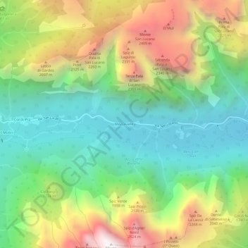
Name: Mezzavalle topographic map, elevation, terrain.
Location: Mezzavalle, Taibon Agordino, Belluno, Veneto, 32027, Italië (46.27581 11.93573 46.31581 11.97573)
Average elevation: 1,489 m
Minimum elevation: 714 m
Maximum elevation: 2,784 m
Thank you for supporting this site ❤️
Make a donation
Make a donation
Gear up for your next adventure:
As an Amazon Associate, this site earns from qualifying purchases at no extra cost to you.