Geolocate

El Villar topographic map

Click on the map to display elevation.

About this map

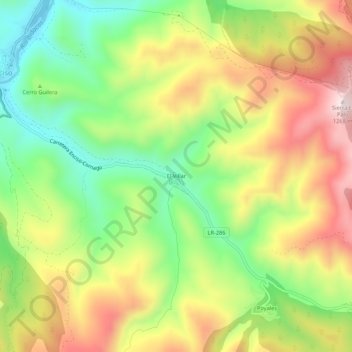
Name: El Villar topographic map, elevation, terrain.

Location: El Villar, Enciso, La Rioja, 26586, España (42.11678 -2.26189 42.15678 -2.22189)

Average elevation: 991 m

Minimum elevation: 762 m

Maximum elevation: 1,260 m

Gear up for your next adventure:

🏕️Camping Hammock - Integrated protection for sleeping between trees
🪜Heavy Duty Carabiners - Multi-use clips for securing gear to your backpack
🧥Ultralight Puffy Jacket - Maximum warmth that packs down to the size of an orange
🔦LED Headlamp - Hands-free lighting for early morning starts or late finishes
🧦Hiking Socks - Moisture-wicking and comfortable socks for long hikes

As an Amazon Associate, this site earns from qualifying purchases at no extra cost to you.