Geolocate

Trunuh topographic map

Click on the map to display elevation.

About this map

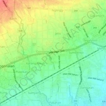
Name: Trunuh topographic map, elevation, terrain.

Location: Trunuh, Klaten, Central Java, Java, 57421, Indonesia (-7.73906 110.55569 -7.69906 110.59569)

Average elevation: 164 m

Minimum elevation: 137 m

Maximum elevation: 204 m

Other topographic maps

Click on a map to view its topography, its elevation and its terrain.

Sanggrahan

Indonesia > Central Java > Klaten

Average elevation: 150 m

Sungai

Indonesia > Central Java > Klaten > Nanggulan

Average elevation: 113 m

Gear up for your next adventure:

🔋Lithium AA Batteries - Long-lasting power that performs in extreme cold
🧥Thermal Layer - Insulating layer for cold outdoor conditions
🥾Hiking Leggings - Comfortable leggings for outdoor activities
🛶Kayak Dry Bag - Waterproof storage for kayaking adventures
🦌Outdoor Trail Camera - Monitor wildlife activity near your favorite spots

As an Amazon Associate, this site earns from qualifying purchases at no extra cost to you.