Geolocate

Matungao topographic map

Click on the map to display elevation.

👉 Easily get elevation data in JSON, GeoTIFF and KML formats using Elevation API
Thank you for supporting this site ❤️
Make a donation

About this map

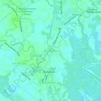
Name: Matungao topographic map, elevation, terrain.

Location: Matungao, Bulakan, Bulacan, Central Luzon, 3017, Philippines (14.78311 120.85987 14.82311 120.89987)

Average elevation: 4 m

Minimum elevation: 1 m

Maximum elevation: 8 m

Gear up for your next adventure:

🥾Mountain Hiking Boots - High-traction boots for rocky terrain
🛶Kayak Dry Bag - Waterproof storage for kayaking adventures
🧥Fleece Jacket - Warm and lightweight jacket for layering
🧣Evaporative Cooling Towel - Beat the heat during intense summer climbs
🥾Waterproof Hiking Boots - Boots keeping your feet dry in wet conditions

As an Amazon Associate, this site earns from qualifying purchases at no extra cost to you.