
Mosteiro topographic map
Interactive map
Click on the map to display elevation.
About this map
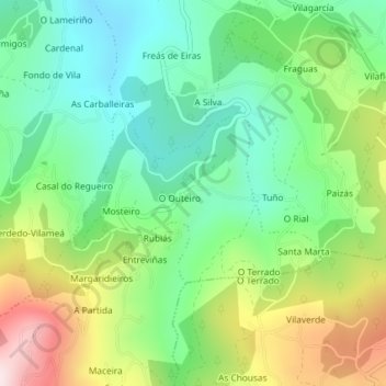
Name: Mosteiro topographic map, elevation, terrain.
Location: Mosteiro, Ramirás, Terra da Celanova, Ourense, Galicië, Spanje (42.16308 -8.03539 42.17561 -8.01168)
Average elevation: 464 m
Minimum elevation: 301 m
Maximum elevation: 761 m