
Chouni topographic map
Interactive map
Click on the map to display elevation.
About this map
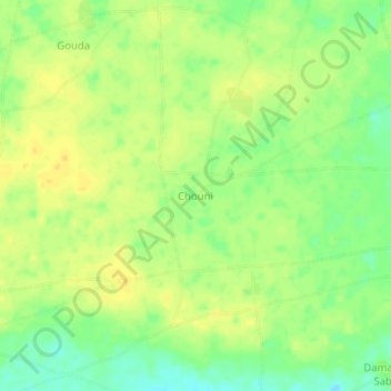
Name: Chouni topographic map, elevation, terrain.
Location: Chouni, Tanout, Zinder Region, Niger (14.64969 7.88371 14.68969 7.92371)
Average elevation: 447 m
Minimum elevation: 432 m
Maximum elevation: 456 m