Geolocate

Wancheng topographic map

Click on the map to display elevation.

About this map

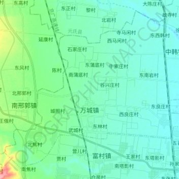
Name: Wancheng topographic map, elevation, terrain.

Location: Wancheng, Gaoyi County, Shijiazhuang City, Hebei, China (37.59769 114.47294 37.68548 114.59830)

Average elevation: 65 m

Minimum elevation: 46 m

Maximum elevation: 153 m

Gear up for your next adventure:

🧴Waterproofing Spray - Restore the DWR coating on jackets and tents
Bushcraft Tarp - Versatile emergency shelter or gear protection
👟Sport Hiking Sandals - Breathable footwear for water crossings and camp rest
🧭GPS Outdoor Watch - Smart watch for navigation and fitness tracking in nature
🚲Handlebar Phone Mount - View topographic-map.com live while cycling

As an Amazon Associate, this site earns from qualifying purchases at no extra cost to you.