Geolocate

Ranpur topographic map

Click on the map to display elevation.

About this map

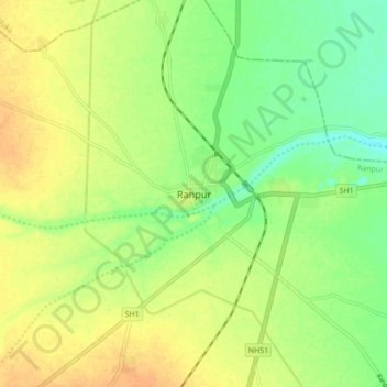
Name: Ranpur topographic map, elevation, terrain.

Location: Ranpur, Ranpur Taluka, Botad District, Gujarat, 363610, India (22.31152 71.67181 22.39152 71.75181)

Average elevation: 69 m

Minimum elevation: 52 m

Maximum elevation: 83 m

Gear up for your next adventure:

🥾Trekking Poles - Adjustable trekking poles to reduce knee stress and improve stability
🥾Mountain Hiking Shoes - Shoes with superior grip for mountainous terrain
🧳Compression Sacks - Maximize space in your backpack by shrinking gear
🛏️Sleeping Bag - Warm and compact sleeping bags for outdoor camping
🧦Thermal Socks - Warm socks for winter hiking or camping

As an Amazon Associate, this site earns from qualifying purchases at no extra cost to you.