
Make a donation
Gear up for your next adventure:
As an Amazon Associate, this site earns from qualifying purchases at no extra cost to you.
Bremen topographic map
Click on the map to display elevation.
Make a donation
Gear up for your next adventure:
As an Amazon Associate, this site earns from qualifying purchases at no extra cost to you.
Bremen
Bremen liegt nah der hessisch-thüringischen Landesgrenze an der Nordwestabdachung der thüringischen Rhön. Der Ortsteil befindet sich östlich von der Kerngemeinde an der Landesstraße 1026, die in Geisa Anschluss an die Bundesstraße 278 besitzt. Die geographische Höhe des Ortes beträgt 363 m ü. NN.
Make a donation
Gear up for your next adventure:
As an Amazon Associate, this site earns from qualifying purchases at no extra cost to you.
About this map
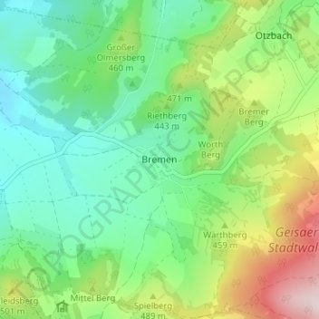
Name: Bremen topographic map, elevation, terrain.
Location: Bremen, Geisa, Wartburgkreis, Thüringen, 36419, Deutschland (50.70500 9.98346 50.74500 10.02346)
Average elevation: 419 m
Minimum elevation: 290 m
Maximum elevation: 698 m
Make a donation
Gear up for your next adventure:
As an Amazon Associate, this site earns from qualifying purchases at no extra cost to you.