
Knesselare topographic map
Interactive map
Click on the map to display elevation.
About this map
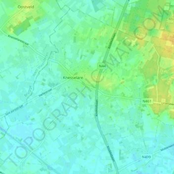
Name: Knesselare topographic map, elevation, terrain.
Location: Knesselare, Aalter, Gent, East Flanders, Flanders, 9910, Belgium (51.11285 3.36803 51.15990 3.45138)
Average elevation: 12 m
Minimum elevation: 5 m
Maximum elevation: 24 m