Geolocate

Kumarapuram topographic map

Click on the map to display elevation.

About this map

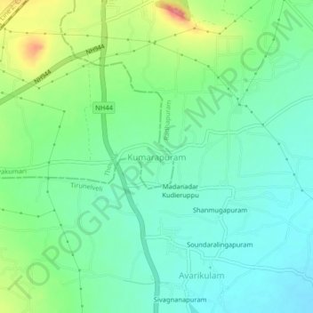
Name: Kumarapuram topographic map, elevation, terrain.

Location: Kumarapuram, Thovalai, Kanniyakumari, Tamil Nadu, 627116, India (8.22766 77.55393 8.26766 77.59393)

Average elevation: 68 m

Minimum elevation: 40 m

Maximum elevation: 132 m

Gear up for your next adventure:

🎒Backpack Rain Cover - External shield to keep your entire pack dry
🧦Hiking Socks - Moisture-wicking and comfortable socks for long hikes
💧Reusable Water Bottle - Durable water bottles for hydration on trails
🍽️Titanium Camping Spork - Ultralight and indestructible eating utensil
🥾Waterproof Hiking Shoes - Durable shoes for wet and rugged trails

As an Amazon Associate, this site earns from qualifying purchases at no extra cost to you.