Geolocate

Mignon topographic map

Click on the map to display elevation.

About this map

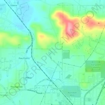
Name: Mignon topographic map, elevation, terrain.

Location: Mignon, Talladega County, Alabama, 35150, United States (33.17800 -86.28506 33.21263 -86.24729)

Average elevation: 173 m

Minimum elevation: 139 m

Maximum elevation: 268 m

Gear up for your next adventure:

🛁Quick-Dry Microfiber Towel - Space-saving towel that dries rapidly on the move
🧭GPS Tracker - Track your location in remote areas safely
🦶Anti-Blister Balm - Prevents friction and hotspots during long ascents
🥾Durable Hiking Shoes - Long-lasting shoes for frequent hiking
🥾All-Terrain Hiking Boots - Versatile boots for varied hiking conditions

As an Amazon Associate, this site earns from qualifying purchases at no extra cost to you.