Geolocate

Bandita topographic map

Click on the map to display elevation.

About this map
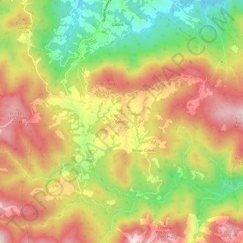
Name: Bandita topographic map, elevation, terrain.

Location: Bandita, Cassinelle, Alessandria, Piemonte, Italia (44.55495 8.53328 44.59495 8.57328)

Average elevation: 492 m

Minimum elevation: 278 m

Maximum elevation: 679 m

Gear up for your next adventure:

🧴Outdoor Sunscreen - High SPF protection for high-altitude UV exposure
🧥Waterproof Jacket - Lightweight rain jackets for hiking and outdoor activities
💧Hydration Bladder - Hands-free hydration solution for long treks
🥾Mountaineering Boots - Supportive boots for climbing and high-altitude hiking
🥾Waterproof Hiking Boots - Boots keeping your feet dry in wet conditions

As an Amazon Associate, this site earns from qualifying purchases at no extra cost to you.