
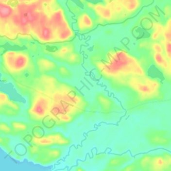
Rivière Cerise topographic map
Interactive map
Click on the map to display elevation.
About this map
Name: Rivière Cerise topographic map, elevation, terrain.
Average elevation: 305 m
Minimum elevation: 274 m
Maximum elevation: 360 m
Other topographic maps
Click on a map to view its topography, its elevation and its terrain.
Lac Suzie
Canada > Québec > Témiscamingue > Les Lacs-du-Témiscamingue
Lac Suzie, Les Lacs-du-Témiscamingue, Témiscamingue, Abitibi-Témiscamingue, Québec, Canada
Average elevation: 342 m
Petit lac Swamp
Canada > Québec > Témiscamingue > Les Lacs-du-Témiscamingue
Petit lac Swamp, Les Lacs-du-Témiscamingue, Témiscamingue, Abitibi-Témiscamingue, Québec, Canada
Average elevation: 364 m