Geolocate

Dufour topographic map

Click on the map to display elevation.

About this map

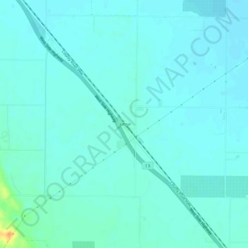
Name: Dufour topographic map, elevation, terrain.

Location: Dufour, Yolo County, California, 95697, United States (38.74191 -121.86288 38.78191 -121.82288)

Average elevation: 18 m

Minimum elevation: 12 m

Maximum elevation: 53 m

Other topographic maps

Click on a map to view its topography, its elevation and its terrain.

Gear up for your next adventure:

💡Compact LED Flashlight - Powerful and portable flashlight for outdoor use
🧤Insulated Winter Gloves - Heavy-duty protection for sub-zero Canadian adventures
Lightweight Camping Tent - Portable shelter optimized for Canadian backcountry camping
🩹Moleskin Blister Pads - Direct protection for painful foot pressure points
🎒Backpack Rain Cover - External shield to keep your entire pack dry

As an Amazon Associate, this site earns from qualifying purchases at no extra cost to you.