Geolocate

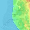
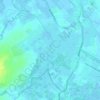
Blendecques topographic map

Click on the map to display elevation.

About this map
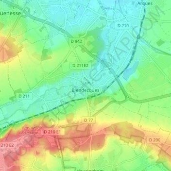
Name: Blendecques topographic map, elevation, terrain.

Location: Blendecques, Saint-Omer, Pas-de-Calais, Hauts-de-France, Metropolitan France, 62575, France (50.70058 2.24648 50.73595 2.31659)

Average elevation: 37 m

Minimum elevation: 2 m

Maximum elevation: 96 m

Other topographic maps

Click on a map to view its topography, its elevation and its terrain.

Panehem

France > Hauts-de-France > Pas-de-Calais > Samer

Average elevation: 70 m

Le Petit Vimy

France > Hauts-de-France > Pas-de-Calais > Vimy

Average elevation: 93 m

Noyelles

France > Hauts-de-France > Pas-de-Calais > Bours

Average elevation: 125 m

Gear up for your next adventure:

🥾Mountain Hiking Shoes - Shoes with superior grip for mountainous terrain
⛺Tent Footprint - Protect tent floor and increase durability
🛏️Camping Sleeping Mat - Comfortable mats for sleeping outdoors
💡LED Headlamp - Hands-free illumination for night hiking and camping
🥾Hiking Gaiters - Protect legs and shoes from mud, snow, and debris

As an Amazon Associate, this site earns from qualifying purchases at no extra cost to you.