Geolocate

Calumet topographic map

Click on the map to display elevation.

About this map

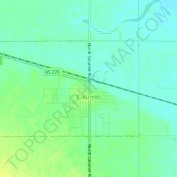
Name: Calumet topographic map, elevation, terrain.

Location: Calumet, Canadian County, Oklahoma, United States (35.59481 -98.13641 35.60939 -98.10940)

Average elevation: 421 m

Minimum elevation: 414 m

Maximum elevation: 431 m

Gear up for your next adventure:

Camping Groundsheet - Protect your tent from moisture and dirt
🧼Biodegradable Camp Soap - Environmentally friendly cleaning for gear and body
🎒Hiking Backpack - Lightweight and ergonomic backpacks for day hikes or multi-day treks
🦟Insect Repellent - Keep mosquitoes and black flies away in wooded areas
Bushcraft Tarp - Versatile emergency shelter or gear protection

As an Amazon Associate, this site earns from qualifying purchases at no extra cost to you.