
北斗鎮 topographic map
Interactive map
Click on the map to display elevation.
About this map
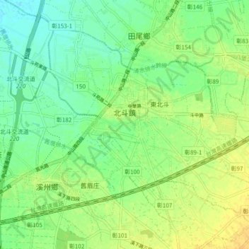
Name: 北斗鎮 topographic map, elevation, terrain.
Location: 北斗鎮, Landkreis Changhua, Taiwan (23.84097 120.49912 23.89492 120.57317)
Average elevation: 34 m
Minimum elevation: 22 m
Maximum elevation: 48 m