

Anna topographic map
Click on the map to display elevation.
Anna
The coming of the railroad can be credited for prompting the founding of the City of Anna, although, from the time of the George Rogers Clark expedition into Southern Illinois country, emigrants recognized its agricultural possibilities. Centrally located in Anna Precinct of Union County, Anna was established by ordinance following the election of Trustees in 1855, although the plot was recorded in the county records on March 3, 1854. The area's elevation and fertile soil have made fruit farming—particularly the growth of grapes for winemaking—one of the area's principal businesses. For the purpose of farming, fruit growing, gardening, and dairying, the lands in and around Anna are not surpassed in Southern Illinois. The precinct in which Anna lies is situated on the divide between the waters of the Ohio and Mississippi Rivers and is well drained by the Cache, Cypress, and Big Creeks. Many cool springs of water aid materially in cattle farming in this area.
About this map
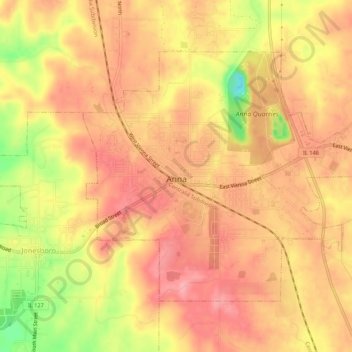
Name: Anna topographic map, elevation, terrain.
Location: Anna, Union County, Illinois, 62906, United States (37.44546 -89.26132 37.47584 -89.20744)
Average elevation: 183 m
Minimum elevation: 108 m
Maximum elevation: 218 m