
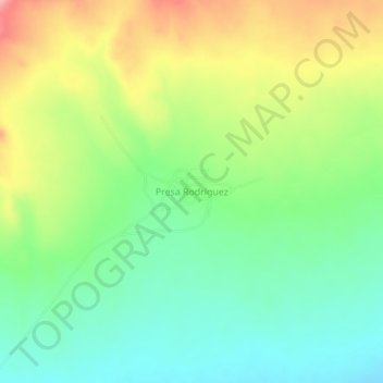
Presa Rodríguez topographic map
Interactive map
Click on the map to display elevation.
About this map
Name: Presa Rodríguez topographic map, elevation, terrain.
Location: Presa Rodríguez, Castaños, Coahuila, México (26.58574 -101.20294 26.62574 -101.16294)
Average elevation: 973 m
Minimum elevation: 924 m
Maximum elevation: 1,048 m